Hiking - Anello delle Vene del Tanaro
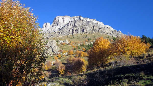
The panoramic view over the southern slopes of the Mongioie, the Sentiero Natura Ignazio Abbo winding through larches, pines, meadows, and pastures, and the fascinating suspension bridge near the Vene del Tanaro are just a few of the unique features that distinguish this route. It is set in one of the most striking corners of the Tanaro Valley, on the southeastern edge of the former Marguareis Nature Park, now managed by the Protected Areas Authority of the Maritime Alps. It is also worth noting that near the Vene del Tanaro and the nearby Grotta delle Fuse (reachable in about 0h 15’ on a trail reserved for Expert Hikers) lies the resurgence of the entire Mongioie karst system, known among other things for the speed of its drainage: the total flow rate of these springs can increase dramatically even during a brief summer storm, rising in just over an hour from 40 liters/second to as much as 5000 liters/second.
Set off along the concrete lane beside the Church, keep to the right shortly after, and continue on the wide grassy mule track that gains elevation with sometimes moderate slopes. Ford a small stream, then reach a small green terrace (water point). After a few switchbacks near the wide Pian Rosso, turn left to reach first a watering trough and then the Rifugio Mongioie (0h 45’/1h 00’ from the start). Pass the building and continue west following the signs for Vene del Tanaro, keeping left at first along a descending dirt road, then right onto an easy path. Cross a mixed forest of larches and pines until reaching a junction. Here, turn right uphill toward the Colla di Carnino, ignoring the left-hand trail used for the return. After crossing a small gully, continue along the rockier path to reach the distinctive Vene del Tanaro. Cross the spectacular suspension bridge, then keep right after a few meters, following the trail that runs above the bridge in the opposite direction. Back on the outward route, continue downhill along the now-familiar path and soon reach the previously noted junction, keeping right, downhill, toward Viozene. Shortly after, ignore a branch toward Pianche and keep left toward Viozene – Montenegro. Upon reaching a few private houses, continue along the route (initially dirt, then concrete) that descends gradually while turning eastward, then leave it near a right-hand bend, taking a path to the left (signposted on wooden poles). Pass an iron cross and a couple of small gullies before meeting again a paved and cemented road. Here, keep right downhill and soon return to the Provincial road that passes through Viozene.