Hiking - Around the Hasselfurth pond
This magnificent hiking trail is one of the must-see places in the Pays de Bitche. After walking along the Hasselfurth pond and the Entenbaechel pond, a small winding path will lead you to the Hochkopf, which is considered the highest point in Bitche (429 metres).
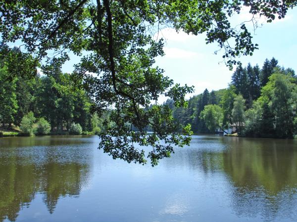
This circuit around the Hasselfurth pond, a few steps from the city, is full of wild waterside landscapes that will delight nature lovers.
This circuit is part of the paths of excellence of the Pays de Bitche (n°2). It is marked out with a red disc, completed with the green "Sentiers d'excellence" badge, for the entire duration of the route. Starting from the car park of the Hasselfurth pond, follow the left bank of the pond (towards the fitness trail). Climb up to the Widerschall and Hochkopf passes. At the Hochkopf, go down on the left to reach the right bank of the Hasselfurth pond and return to the starting point.