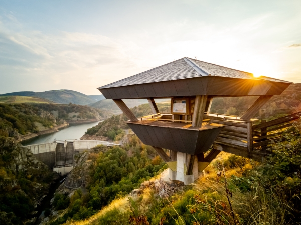
Hiking - Puylaurent Dam

A small open plateau combined with a forest crossing, with Saint-Laurent Church as the highlight — a precious and very well-preserved testimony of Romanesque art.
Along the route, signposts guide you. The place names and/or directions to follow are indicated in "bold italic within quotation marks" in the description below:
From « PUYLAURENT », go up the road just above the village for a few meters, then turn right onto the path, direction « Valat de l'Entillat ». At « Valat de l'Entillat », take a sharp right onto the woodland path. When you reach the road, turn left and follow it towards the bridge. Take the path that climbs opposite the road at the sign « Bois de Puylaurent ». Continue climbing until the viewpoint, then return to « PUYLAURENT ».
Walk extracted from the map-guide Mont Lozère – Land of Springs, From Margeride to Lake Villefort in the Cévennes, developed by the Mont Lozère outdoor activity center.
Adapt your equipment to the day’s weather conditions. Remember that the weather can change quickly in the mountains. Be sure to bring enough water, sturdy shoes, and a hat.