Hiking - Bournaves
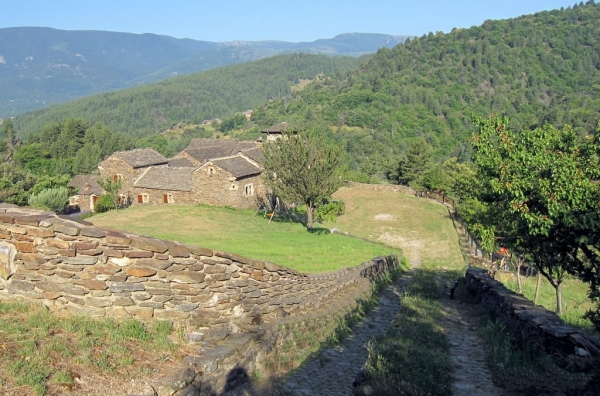
The conifer forests planted in the 19th century alternate with open meadows in this peaceful landscape of the upper Cèze valley.
Along the route, signposts will guide you, as well as yellow paint markings. The place names and/or directions to follow are indicated in "bold italic and quotation marks" in the description below:
From « PONTEILS ET BRÉSIS », head towards « BOURNAVES » via « Les Arnals ».
At « BOURNAVES » return to « PONTEILS ET BRÉSIS » via « Chabottes », « Ponteils ».
Walk extracted from the map-guide Mont Lozère – Land of Sources, Summit of the Cévennes, produced by the Mont Lozère outdoor activity center.
Adapt your equipment to the day’s weather conditions. Remember that the weather can change quickly in the mountains. Be sure to bring enough water, sturdy shoes, and a hat. Please close gates and fences behind you.