Hiking - Canal de la Viale
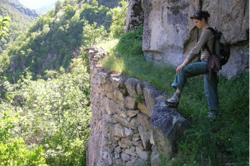
Notice the many surprising irrigation canals built by hand to carry water to the former faïsses (cultivated terraces).
Along the route, signposts will guide you. The place names and/or directions to follow are indicated in "bold italics and quotation marks" in the description below:
From « Le Mont », head towards « Le Couderc ».
At « Le Couderc », turn left towards « La Viale ».
At « La Viale », return to « Le Mont » via « L’Estrechet ».
Walk extracted from the map-guide Mont Lozère – Land of Sources, From La Margeride to Lake Villefort in the Cévennes, produced by the Mont Lozère outdoor activity center.
Steep slope and route along the mountainside.
Caution during hunting season.
Adapt your equipment to the day’s weather conditions. Remember that the weather can change quickly in the mountains. Be sure to bring enough water, sturdy shoes, and a hat.