Hiking - Causse de la Volte
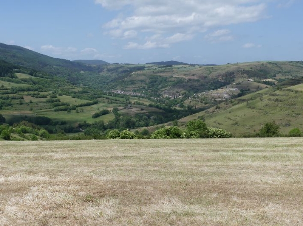
A small causse at the foot of Mont Lozère! A landscape atmosphere mixing pastures and forests.
Along the route, signposts will guide you. The place names and/or directions to follow are indicated in bold italics and quotation marks in the description below:
Start at « Cubières », head towards « Col Bourbon » (GR®68) via « Village », « Pelloufet », « Croix de Pelloufet », « Valat de la Longogne ».
At « Col Bourbon », follow the direction « Coursoules ».
At « Coursoules », return to « Cubières » via « Valat de la Longogne », « Croix de Pelloufet », « Pelloufet », « Village ».
Walk extracted from the map-guide Mont Lozère – Land of Sources, from Montagne du Goulet to the Bramont Gorges, created by the Mont Lozère outdoor activity center.
Warning: crossing cattle pastures – do not approach the animals and keep your dogs on a leash.
Adapt your equipment to the day’s weather conditions. Remember that the weather can change quickly in the mountains. Be sure to bring enough water, sturdy shoes, and a hat. Always close fences and gates properly.