Hiking - Causse de Montbel Modération
Located between Montagne du Goulet to the south and Margeride to the north, the small Montbel causse (23 km²) forms a granite plateau of great beauty.
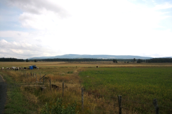
Livestock farming has shaped a landscape of meadows and heathland, offering wide-open views of the horizon.
Along the route, signposts guide you, along with yellow painted trail markers. The place names and/or directions to follow are indicated in "bold italics and quotation marks" in the description below:
Starting from « BELVEZET », head towards « Le Giraldou », « Les Bastides », « La Plaine », « Bertouire ».
At « Bertouire », turn right towards « LES CHAZEAUX ».
At « LES CHAZEAUX », return to « BELVEZET » via « Les Pauses ».
Walk extracted from the map-guide Mont Lozère – Land of Sources, from Montagne du Goulet to the Bramont Gorges, produced by the Mont Lozère nature center.
Adapt your equipment to the day’s weather conditions. Remember that the weather can change quickly in the mountains. Be sure to bring enough water, sturdy shoes, and a hat. Always close fences and gates properly.