Hiking - Causse de Sauveterre
Between the Causse de Sauveterre and Mont Lozère, this beautiful wide limestone plateau opens onto a vast landscape, dominated by the Mende state forest and the Truc de Balduc.
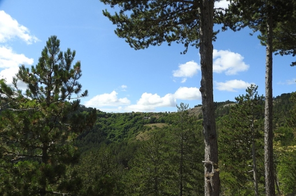
Between the Causse de Sauveterre and Mont Lozère, this broad limestone plateau embraces an open landscape, dominated by the Mende state forest and the Truc de Balduc, one of those massive geological formations often found in the high Lozère.
Along the route, signposts as well as yellow painted markers guide you. The place names and/or directions to follow are indicated in "bold italics and quotation marks" in the description below:
Starting from « Montmirat », head towards « La Bazalgette » via « Le Causse ». At « La Bazalgette », return to « Montmirat » via « Serre de la Faïsse ».
Walk extracted from the map-guide Mont Lozère, Land of Sources, from the Goulet mountain to the Bramont gorges, produced by the Mont Lozère nature center.
Adapt your equipment to the day’s weather conditions. Remember that the weather can change quickly in the mountains. Be sure to bring enough water, sturdy shoes, and a hat. Close fences and gates carefully.