Hiking - Causse du Masseguin
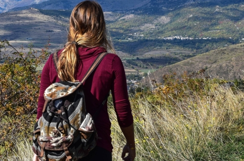
Famous loop reserved for enthusiasts, embracing the heights of Valdonnez, where the Masseguin massif and the ridgelines overlooking the valleys offer vast landscapes stretching as far as Truc de Balduc.
Along the route, signposts guide you, along with yellow painted trail markers. The place names and/or directions to follow are indicated in "bold italics and quotation marks" in the description below:
Starting from « LANUÉJOLS », head towards « Eglise » then « La Coste ».
At « La Coste », turn right towards « Vitrolles ».
At « Vitrolles », continue straight towards « Combe Sourde ».
At « Combe Sourde », turn right towards « Le Masseguin ».
At « Le Masseguin », continue straight towards « Sous le Col de la Loubière ».
At « Sous le Col de la Loubière », turn left towards « Col de la Loubière 2x ».
At « Col de la Loubière », follow the direction « Ron des Classes ».
At « Ron des Classes », continue straight towards « CHAPIEU » via « Plot de la Coste », « La Valette ».
At « CHAPIEU », turn left to return to « LANUÉJOLS » via « Vieux Chapieu », « Condamine », « Lou Martoulet ».
Walk extracted from the map-guide Mont Lozère – Land of Sources, from Montagne du Goulet to the Bramont Gorges, produced by the Mont Lozère nature center.
Adapt your equipment to the day’s weather conditions. Remember that the weather can change quickly in the mountains. Be sure to bring enough water, sturdy shoes, and a hat. Always close fences and gates properly.