Hiking - Chalet de l'Aigle
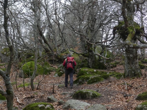
A beautiful immersion into the different landscapes of Mont Lozère, crowned by the ascent of the Cassini summit, which offers a splendid panorama.
Along the route, signposts guide you. The place names and/or directions to follow are indicated in "bold italics and quotation marks" in the description below:
From « Mas de La Barque », head towards « Le Pic de Cassini » via « Bois de Bellecoste », « Sous la Tête de Bœuf », « Col de l’Aigle ».
At Pic Cassini, descend along the same path to return to « Col de l’Aigle ». Then turn left towards « Chalet de l’Aigle ».
At « Chalet de l’Aigle », return to « Mas de la Barque » via « Sous le Chalet de l’Aigle », « Lous Felzillas », « La Roche Fendue », « Sous la Roche Fendue » (twice), « Gardione » (twice), « Rochers de la Barque » and « Les Écuries de Mas de la Barque ».
Walk extracted from the map-guide Mont Lozère – Land of Sources, Summit of the Cévennes, produced by the Mont Lozère outdoor activity center.
During summer, sheep herds and guard dogs (patous) are present: adopt the right behavior (information available from the Tourist Office and Park Houses).
Adapt your equipment to the day’s weather conditions. Remember that the weather can change quickly in the mountains. Be sure to bring enough water, sturdy shoes, and a hat. Always close fences and gates properly.