Hiking - Chapelas Roc
This loop, a classic starting from Villefort, climbs through interlacing paths on the eastern slope of the valley, opening onto wide panoramas.
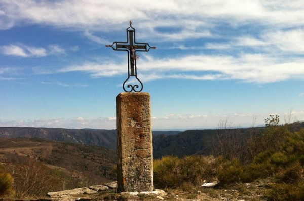
From the Villefort hillock, where the main routes converge, set off at full speed to discover vast landscapes among oaks and chestnut trees, where Chape-las Roc dominates the small town tucked into the slopes of Mont Lozère.
Along the route, signposts guide you, and the place names and/or directions to follow are indicated in "bold italics and quotation marks" in the description below:
From « VILLEFORT », head towards « Le Collet » via « Place de l'Ormeau », « Chemin des Fangouses ». At « Le Collet », turn left towards « L'Esclayrade » via « Forêt de Bayard ». At « L'Esclayrade », return to « VILLEFORT » via « Chapelas », « Rue de Chazalet », « Place de l'Ormeau ».
Walk extracted from the map-guide Mont Lozère – Land of Sources, From the Margeride to Villefort Lake in the Cévennes, produced by the Mont Lozère nature center.
Caution during hunting season.
Adapt your equipment to the day’s weather conditions. Remember that the weather can change quickly in the mountains. Be sure to bring enough water, sturdy shoes, and a hat.