Hiking - Chaussitre - Saint-Régis du Coin no. 2
• The trail follows the same route as trail no. 1 until Dunerette.
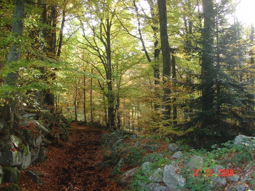
• At the two chalets, leave the road and go straight up the path via the 'sentier des noisetiers' (hazelnut trail). A beautiful paved track!
• At Malconnière, cross the D74 road to Marlhes.
• Follow the waymarkers (also a mountain bike trail) to Bourgaud-des-Prés.
• At Bourgaud-des-Prés, cross the road to Saint-Genest-Malifaux.
• Follow the path (also a Park trail).
• Before Valadon, take a sharp right turn and climb up to the Croix de Chaussître (orientation table).
• Optional side trip to Pierre Saint-Martin (30 min round trip). Children who were late to walk were brought here on pilgrimage.
• Descend towards le Teil and le Champ (500m on tarmac).
• At La Croix, turn right towards Les Crozes.
• Go back up towards La Fayolle, cross the road and descend to La Dunerette (bridge).
• Climb back up to Saint-Régis.
⚠️ Caution, busy road, please be careful.
Everyone is responsible for their own safety. Therefore, you hike at your own risk. Stay on the marked trails to protect fragile ecosystems.
A few recommendations:
- Check the weather forecast before you leave.
- Some routes cross busy roads: Be careful.
- Keep dogs on a leash.
- Do not light any fires.
- Take your litter home with you.
- Admire the flowers, do not pick them.
- Tick bites can cause serious illnesses; for prevention: wear long clothing, use insect repellent, check yourself upon your return, remove ticks with a tick remover tool without applying any substance to them, and consult a doctor if redness or flu-like symptoms appear, or if you are in a high-risk group.
- For emergency services, dial 18 or 112.