Hiking - Col de l'Alpe-Crête de Rougne
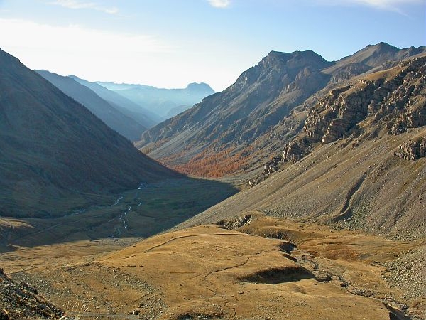
This ledge trail leads from the Col de la Moutière to the Crête des Rougne. It offers an easy hike overlooked by the famous Cime de la Bonette, across somewhat barren slopes.
Chamois, mouflons and ibex, which are rather elusive here, are best spotted in June, September-October, or early in the morning. Marmots, golden eagles and bearded vultures can be spotted regularly. From June to early August, you will be rewarded with a unique and charming alpine flora.
From the Col de la Moutière (2450m, marker 61), take the rocky path marked with red and white blazes (GR56) which runs along the slopes below the Cime de la Bonette. Once you reach the Ravin de la Bonette, cross through a grassy meadow and continue on to cross a ridge just after a section of marly terrain.
From there, you will quickly reach the Col de Colomban (2539m, marker 45). Leave the path descending to the hamlet of Bousieyas on your left and continue south towards the clearly visible Col de l'Alpe. At the pass (2600m, marker 46), go off-trail and take the easy route to the right which leads to the summit of Rougne (2676 m), the end of the ascent.
Return by the same route.Despite the limited elevation gain, the average altitude is high, which requires some precautions, especially at the beginning of the summer season (presence of snow patches) and at the end of the season (frequent thunderstorms).