Hiking - Col de Montclar
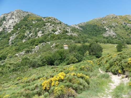
Overlooking the Homol valley and its state forest, the trail offers beautiful viewpoints west of Génolhac from the cols of Coste, Montclar, and from Chastelas (957m).
Along the route, directional posts guide you, with the names of places and/or directions to follow indicated in "bold italic and in quotes" in the description below:
From "Génolhac" head toward "Col de Montclar" via "Soubre Montclar". Then head toward "Le Chastelas" via "Sous le col de Montclar". Return to "Génolhac" via "Puecharus", "Serre de Puecharus", "La Coste", "Génolhac - Gare", "Génolhac - Arceau".
Trail extracted from the guidebook Mont Lozère – Pays des sources, Sommet des Cévennes, implemented by the Mont Lozère Outdoor Activities Center and the Alès Agglomération community of communes as part of the Collection Espaces Naturels Gardois and the Gard Pleine Nature label.
Adjust your equipment to the day’s weather conditions. Remember that weather can change quickly in the mountains. Be sure to bring enough water, good shoes, and a hat.