Hiking - Col de Peyrefiche
Spotlight on the drailles, the ancient main pastoral routes in the Cévennes.
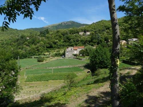
You will wander among chestnut trees and evergreen oaks, crossing hamlets surrounded by gardens, orchards, and terraces planted with the Cévennes sweet onions.Along the route, signposts guide you. The names of places and/or directions to follow are indicated in bold italics and in quotes in the description below:
Departure from " MANDAGOUT ", heading toward " COL DE PEYREFICHE " via "Mandagout - Centre", "La Planque", then "Chemin de Rouas". From " COL DE PEYREFICHE ", follow " Peyrefiche" then "Rouas" before returning along "Chemin de Rouas" back to " MANDAGOUT" via "La Planque" and "Mandagout - Centre".
Walk extracted from the guide Les Vallées Cévenoles - En Pays Viganais, produced by the Pays Viganais-Cévennes community of municipalities as part of the Espaces Naturels Gardois collection and the Gard Pleine Nature label.
Adapt your equipment to the day’s weather conditions. Be sure to bring enough water, good shoes, and a hat. Close fences and gates properly.