Hiking - Col des Aires
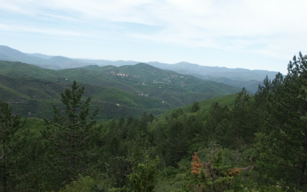
A challenging hike that takes you across ridges and valleys, offering spectacular panoramas of the Southern Cévennes.
Along the route, directional posts guide you. The names of places and/or directions to follow are indicated in bold italics and in quotes in the description below:
Departure from « SAINT BRESSON », towards « CAMPIS » via « Le Roc de Gourgue », « Le Bois » and « Ancienne Ecole de Campis ».
From « CAMPIS », continue to « Serre de Campis », « Loves », « Serre de Loves » up to « POMMIERS ».
Continue to « Pierre Plantée » (from here, a 400 m round trip to the menhir is possible).
Return to « SAINT BRESSON » via « Roquevieille » and « Le Roc de Gourgue ».
Walk excerpted from the map guide Les Vallées Cévenoles - En Pays Viganais, produced by the Pays Viganais-Cévennes Community of Communes as part of the Espaces naturels gardois collection and the Gard Pleine Nature label.
Adapt your equipment to the weather conditions of the day. Remember to bring enough water, sturdy shoes, and a hat.