Hiking - Crête du Goulet
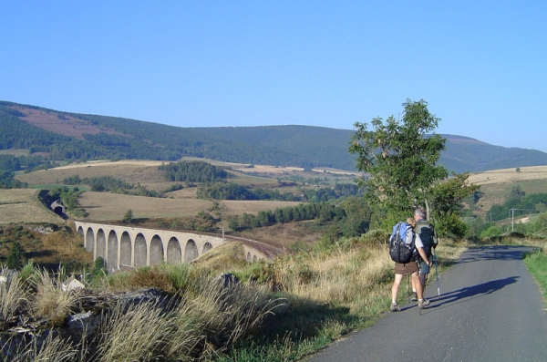
Walk on the northern slope of the Goulet, above the headwaters of the Chassezac, recalling Stevenson’s stop at an inn in Chasseradès, alongside workers then engaged in building the future railway.
Along the route, directional posts and yellow paint markings will guide you. The place names and/or directions to follow are indicated in "bold italics and in quotes" in the description below:
From « CHASSERADÈS », direction « Ponteils », « Le Mazel », « Le Fau », « Croix de la Rochette ». At « Croix de la Rochette », turn right towards « Les Estarragnasses ». At « Les Estarragnasses », turn left towards « Boulo de l'Aniel » then straight on to « Carrefour Guy Cubizolle ». At « Carrefour Guy Cubizolle », turn right towards « L'ESTAMPE » via « Lou Devezou », « Lou Travers », « La Croze ». At « L'ESTAMPE », return to « CHASSERADÈS ».
Walk taken from the cartoguide Mont Lozère – Land of Springs, From the Margeride to the Villefort Lake in the Cévennes, produced by the Mont Lozère Outdoor Activity Center.
Adapt your equipment to the day’s weather conditions. Remember that the weather changes quickly in the mountains. Bring sufficient water, good shoes, and a hat. Be sure to close fences and gates properly.