Hiking - From the Aussois Dams to the Vallon de l'Orgère via the Col de la Masse
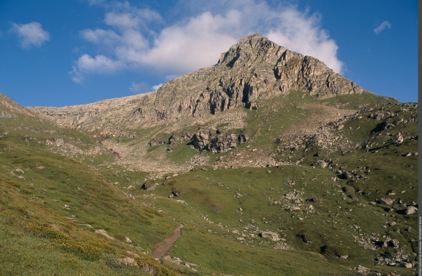
An all-in-one hike: idyllic landscapes, grassy terraces, high-altitude lakes, forest bathing and high rocky peaks!
On this stage of the Tour de la Pointe de l'Echelle, you will hike through environments as diverse as they are extraordinary: the deep blue of Lac de Plan d'Amont, the bright Orgère Forest with its centuries-old trees, and the lunar landscape of the Col de la Masse. Up there, approaching an altitude of 3,000 m, you will enjoy a memorable panoramic view of the Ecrins, Mont Thabor, the Dent Parrachée and the Rateau d’Aussois.
Pass the foot of the imposing Plan d'Amont dam and follow the vehicle track alongside it to reach the right bank of the lake.
At the Pont de la Sétéria, do not cross the stream, but instead take the uphill path on the left, marked by a signpost.
About a third of the way up the climb, ignore the path on the left heading to the Col du Barbier and continue the ascent towards the Col de la Masse. It is recommended to follow the red and white trail markers all the way to the col (signpost).
Towards the bottom of the descent, at the junction at elevation 2067 m, ignore the path on the right going straight down to the valley floor of the Vallon de l'Orgère (track) and stay on the balcony path that takes you through the forest via the Nature Trail.
At the chalets at the edge of the forest, make your way to your accommodation.