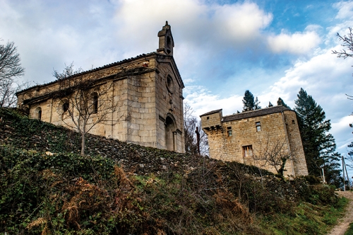
Hiking - Elze

En border of Ardèche, a long trail marked by ridge paths and shaded pine forest immersions.
Along the route, directional posts guide you, with the names of places and/or directions to follow indicated in "bold italics and in quotes" in the description below:
From « MALÔNS ET ELZE » direction « ELZE » via « Malôns-Eglise », « Croix de la Rousse », « La Tranchée de Malons », « Le Bécassin ». At « Le Bécassin », turn right towards « ELZE ». At « ELZE », turn left towards « MAS DE L'AYRE » via « L'Ayre », « Col du Mas de l'Ayre », « MAS DE L'AYRE ». At « MAS DE L'AYRE » return to « MALÔNS ET ELZE » via « Le Bécassin », « La Tranchée de Malons ». At « La Tranchée de Malons», turn right towards « MALÔNS ET ELZE ».
Walk taken from the cartoguide Mont Lozère – Pays des sources, From the Margeride to Villefort Lake in the Cévennes, implemented by the Mont Lozère Nature Center.
Adapt your equipment to the day’s weather conditions. Remember that mountain weather changes quickly. Bring sufficient water, sturdy shoes, and a hat.