Hiking - Gasbiel
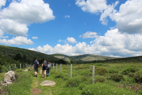
This loop around the upper Tarn valley on the foothills of Mont Lozère takes you through villages with typical architecture and small built heritage elements (mill, béal or irrigation channel, etc.).
Signposts will guide you all along this route, as well as yellow painted waymarks. In the description below, the signposted place names and/or directions are given in bold italics between quotation marks:
From “Mont-de-Montvert “, climb to “Quartier de la Barte”, then “La Barte” and “Prat del Lach”. From there, continue to “L’Avès”, “Lou Prat de la Rivière”, “Villeneuve”, “Pont de Planche”. Turn right to “Gasbiel” and “Bois de la Mouline” x2. Then make for “Felgerolles” via “Moulin de Felgerolles”. At “Felgerolles”, return to “Pont-de-Montvert” via “Le Merlet”, “Lou Mouly”, “Prat del Lach”, “La Barte”, “Quartier de la Barte”.
This hike is taken from the guidebook Mont Lozère - Pays des sources, published by the Pôle de pleine nature du Mont Lozère.
It is impossible to cross the Tarn during flooding.
Make sure your equipment is appropriate for the day’s weather conditions. Remember that the weather changes quickly in the mountains. Take enough water, wear sturdy shoes and put on a hat. Please close all gates and barriers behind you.