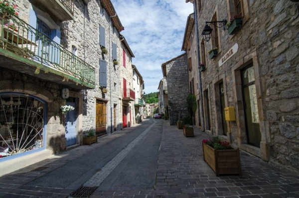
Hiking - Jardin du Tomple
Starting from the village, the walk crosses the passes of l'Ancise and la Banlève, heads toward the remarkable garden of Tomple, and crosses over the line of the "Cévenol," which still connects Clermont-Ferrand to Nîmes.
Along the route, directional signposts will guide you, with the names of hamlets and/or directions to follow indicated in "bold italics and quotation marks" in the description below:
From "Génolhac" head toward "Col de l'Ancise" via "Pont de la Gardonnette", "Champrevart", "Aiguebelle 1.8 km".
From "Col de l'Ancise" return to "Génolhac" via "L'Amalet", and "Cante Perdrix".
Walk excerpted from the Mont Lozère – Land of Sources, Summit of the Cévennes map-guide, produced by the Mont Lozère outdoor activity center and the Alès Agglomération community of communes as part of the Gard Natural Spaces Collection and the Gard Pleine Nature label.
Adapt your equipment to the day’s weather conditions. Remember that the weather changes quickly in the mountains. Be sure to bring sufficient water, good shoes, and a hat.