Hiking - L'Arboux
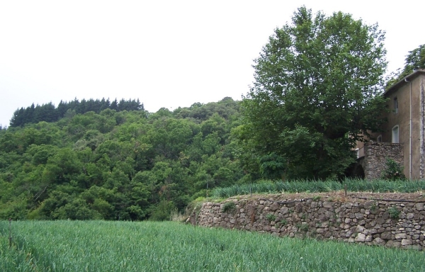
Descent toward the hamlet of l’Arboux, whose name comes from the Occitan word « arboç », strawberry tree, a species not commonly found throughout the Cévennes, before climbing back up to discover the terraced plantations of Cévennes sweet onions.
Along the route, directional posts guide you. The names of landmarks and/or directions to follow are indicated in bold italics and quotation marks in the description below:
Starting from «MANDAGOUT», head toward «L’ARBOUX» via « Mandagout - Centre » and « Croix de Navous ».
At « L’ARBOUX » head toward « COSTUBAGUE » via « L’Arboux ». Continue toward «La Planque» then return to « MANDAGOUT » via « Mandagout - Centre ».
Walk excerpted from the map guide The Cévenol Valleys – In the Viganais Region, produced by the Pays Viganais-Cévennes community of communes as part of the Espaces Naturels Gardois collection and the Gard Pleine Nature label.
Adapt your equipment to the day’s weather conditions. Be sure to bring enough water, good shoes, and a hat.