Hiking - L'Authion via the Cairos
The length of the route and the significant elevation gain require a good level of fitness for this hike through pastures and forests.
A vast lookout crowned with forts, the Authion massif marks the transition between Piedmont and Provence.
Follow the dirt track heading upstream. Along the way, the contrast between the shaded slope and the sunny one is striking. On the shady side lies a beautiful forest of fir and spruce trees. In the sun, former cultivation terraces are now overrun by broom.
After about 45 minutes, the track curves sharply; 30 metres further on, take the path (marked in green and yellow) that leads to the Pampriasque mountain pastures and the Baisse de Saint Véran.
After 10 minutes, cross a stream and at the next junction, turn right. Soon, the trail emerges from the hazel thickets and winds upward in the sun, gaining altitude.
Shortly after, a wooden park sign points toward the Baisse de Saint Véran. Gradually, the montane level gives way to the subalpine zone.
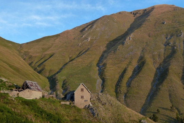
It takes about an hour to walk from the Fromagine area to Pampriasque. Above the Pampriasque barns, the path fades into the sheep tracks (drailles); head slightly to the right and cross two successive gullies before continuing the off-trail climb toward some old watering troughs, recognizable by the remaining metal structures.
At the troughs, turn left across the bare slopes of the Cime du Tuor to reach the Baisse de Saint Véran.
From the pass, the view is wide open: to the south, the Malagratta valley watched over by the Caire de Pia Bergerie and the dense Turini forest; to the north, the Cime du Diable heralds the Mont des Merveilles and the Grand Capelet, stark and mineral landscapes.
Here the trail meets the GR52. Continue eastward on the southern slope.
Soon the Redoute de la Pointe des Trois Communes comes into view. Allow about an hour to reach it.
From here, the Authion plateau reveals its network of military fortifications and the expanse of grasslands still used by the cattle pastures.
At the foot of the Redoute, the GR52 joins the fortifications of Plan Caval. Watch out for deep holes partly hidden by concrete blocks. Then follow the road as it loops around before reaching the Baisse de Caran.
Take the trail from there, which descends for about 1 hour 15 minutes to reach Sainte Claire.
The hike ends by the riverbank, where a stone bridge crosses the torrent back to the starting point.