Hiking - La Croix du Trève - Véranne No. 3
From the Drevet car park, head up into the village centre, go past the church and continue straight onto Route de la Fontaine (brown and white waymarking from the Pilat Regional Natural Park). Take Chemin du Repos on the right, then turn left onto Chemin du Combeau until you reach the Combeau farm. Continue along a forest track for 300 m, then turn right to cross the Poncheron woods.
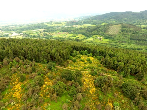
Turn left onto a ridge path that marks the boundary between the municipalities of Roisey and Véranne, and follow it to Croix du Trève.
To the northeast, admire the view over the Sagne valley and the hamlet of Sagnemorte; on a clear day, you can see Mont Blanc. To the north is Crêt de l’Oeillon, to the west, St Sabin with its chapel and the hamlet of Cubusson, and to the south, the Ardèche mountains.
Follow the hillside path and reach Cubusson via the paved road, then head back down towards Véranne. From there, take the path on the right that runs alongside the Fayon, cross Route de Cubusson and head towards Les Gouttes.
Take the Vialles forest track for 1000 m and turn right to return to Véranne.
Everyone is responsible for their own safety. Hikes are therefore undertaken at your own risk. Please stay on the marked trails to protect fragile ecosystems.
Some useful recommendations:
- Check the weather forecast before you leave
- Some routes cross busy roads: Be careful
- Keep dogs on a leash
- Do not light any fires
- Take your litter home with you
- Enjoy the flowers, but do not pick them.
- Tick bites can cause serious illnesses. For prevention: wear full-coverage clothing, use repellent, check your body when you get back, remove ticks with a tick remover tool without applying anything to them, and see a doctor if you notice any redness, flu-like symptoms, or if you are in an at-risk group.
- For the emergency services, dial 18 or 112.