Hiking - La Dauphine
This walk goes through a diverse state-owned forest: beech stands and natural fir stands. There are magnificent views onto the summit of Mont Aigoual. One section of this walk is shared with the discovery trail “The cliffs of Mont Aigoual”.
Signposts will guide you all along this route. In the description below, the signposted place names and/or directions are given in bold italics between quotation marks:
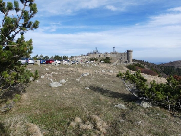
Sarting at "Col de La Serreyrède", head towards "Point Sublime" via "Virage de Barrot", "Valat de la Dauphine", "Muraille de Volpellière". At "Point Sublime" take the track on the left towards "Coupe feu Sud", "Coupe feu", "Les plaques", "La Source". At "La Source" climb to "Sommet du Mont Aigoual" in the direction of "Le Bélvédère". Go downhill to "Prat Peyrot" via"Les Antennes", "La Drailhe". Return to "Col de La Serreyrède" via "Le Fangas".
This walk is taken from the guidebook Massif de l’Aigoual, published by the Communauté de communes Causses Aigoual Cévennes as part of the collection Espaces Naturels Gardois and the label Gard Pleine Nature.
Make sure your equipment is appropriate for the day’s weather conditions. Remember that the weather changes quickly in the mountains. Take enough water, wear sturdy shoes and put on a hat. Please close all gates and barriers behind you.
Signposts will guide you all along this route. In the description below, the signposted place names and/or directions are given in bold italics between quotation marks:
Sarting at "Col de La Serreyrède", head towards "Point Sublime" via "Virage de Barrot", "Valat de la Dauphine", "Muraille de Volpellière". At "Point Sublime" take the track on the left towards "Coupe feu Sud", "Coupe feu", "Les plaques", "La Source". At "La Source" climb to "Sommet du Mont Aigoual" in the direction of "Le Bélvédère". Go downhill to "Prat Peyrot" via"Les Antennes", "La Drailhe". Return to "Col de La Serreyrède" via "Le Fangas".
This walk is taken from the guidebook Massif de l’Aigoual, published by the Communauté de communes Causses Aigoual Cévennes as part of the collection Espaces Naturels Gardois and the label Gard Pleine Nature.
Make sure your equipment is appropriate for the day’s weather conditions. Remember that the weather changes quickly in the mountains. Take enough water, wear sturdy shoes and put on a hat. Please close all gates and barriers behind you.