Hiking - La Dent
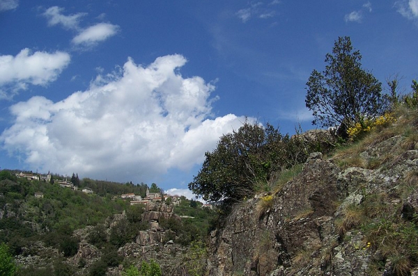
Attention, it’s long, with steep climbs and descents, but the hike on the Roure plateau, about six kilometers, is magical!
Along the route, directional posts will guide you, with the names of landmarks and/or directions to follow indicated in "bold italics and quotation marks" in the description below:
From « PIED DE BORNE », head toward « ST JEAN CHAZORNE » via « Sous le Belvédère », « PLANCHAMP ». At « ST JEAN CHAZORNE », follow direction « Cham ». At « Cham », turn left toward « LA BEYSSIÈRE » via « La Dent ». At « LA BEYSSIÈRE », return to « PIED DE BORNE » via « Souliol », « Canal de Balemo », « BEYSSAC », « Beyssac Bas », « Passerelle de Beyssac », « Moulin des Rivières »
Walk excerpted from the map-guide Mont Lozère – Land of Springs, From the Margeride to the Lac de Villefort in the Cévennes, produced by the Mont Lozère Outdoor Activity Center.
Adapt your equipment to the day’s weather conditions. Don’t forget that the weather changes quickly in the mountains. Be sure to bring enough water, good shoes, and a hat. Close gates and fences securely.