Hiking - The Rucheix Communal Forest
The Gérise or Gérize Stream
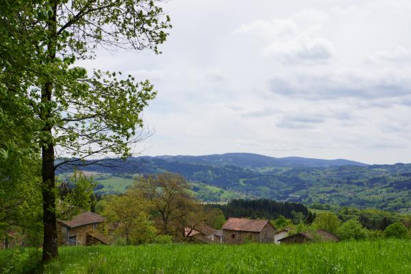
The Gérise or Gérize stream forms the border between the communes of Marat and Olliergues. It rises on the Hautes Chaumes, in the Pater peat bog, at an altitude of around 1300 m, and flows into the Dore river at Repote, upstream of Olliergues. In the past, the power of its waters drove the sawmills along its course. Farmers also had water rights to irrigate their meadows and water their livestock.
The Gérise or Gérize stream forms the border between the communes of Marat and Olliergues. It rises on the Hautes Chaumes, in the Pater peat bog, at an altitude of around 1300 m, and flows into the Dore river at Repote, upstream of Olliergues. In the past, the power of its waters drove the sawmills along its course. Farmers also had water rights to irrigate their meadows and water their livestock.