Hiking - La Fracha
Once you are out of the forest, the view is revealed. To the south are the hills with Mediterranean vegetation which overlook the sea and to the north the high summits of the Mercantour emerge.
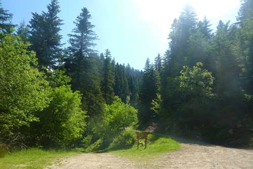
Head off from Col de Turini, from markers 184 then 195, on GR52a, with red and white markers. Follow the forest track down its gentle slope (approximately one hour). At the first crossroads, turn right. At the following intersection, go straight on.
At marker 196, continue straight on until you reach marker 191. Here you should leave the track and the GR, turning left onto a path which climbs up over the bank towards Cime de Suorcas (yellow markers).
After climbing for a few minutes, the path heads downwards for a short while and then climbs gently until you reach La baisse de Suorcas (balise 192).
You will come out on the southern slopes, where you can admire the view over Peïra-Cava and Rocassiera.
Continue via the ridge towards La Croisette. At La Tête de Fracha, the path widens. Carry on until you reach the forest house of La Croisette, and then until the tarmacked road, which you will cross at marker 193 towards Col de Turini (“climb over” the supporting wall, marker 194).
Continue along the ridge. On the path, turn right. Continue for 100 metres until marker 182, then get back onto GR52a. At marker 183: a delightful view over the Bévéra valley to the southeast. Go under the ski lift and head down towards the ski slope. Before Col de Turini, you can make a stop at the little pond to look at the tadpoles.