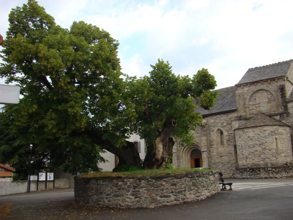
Hiking - La Goulette
Strong hikers will appreciate this route between the Cévennes and the Margeride, which forms a cirque with wide views and where the mostly bare ground reflects a long pastoral history.
At the border of Ardèche and Lozère, on this small causse — a windswept plateau steeped in history — follow the mule tracks between the Margeride and the Cévennes, weaving through the heather.
Along the route, directional posts will guide you. The names of the place names and/or directions to follow are indicated in "bold italics and quotation marks" in the description below:
From "PREVENCHÈRES", head toward "Route de la Fare" then "La Croux", "Croix du Clas", "Jailhère".
Continue to "Col du Ronc Drelho", then "Valat du Bois", "CROISEMENT DU CAUSSE", "Foyer de Vie Arc en Ciel", and return to "PREVENCHÈRES".
This walk is taken from the cartoguide Mont Lozère – Land of Springs, From the Margeride to Villefort Lake in the Cévennes, produced by the Mont Lozère Outdoor Activity Center.
Adapt your equipment to the day’s weather conditions. Remember that mountain weather changes quickly. Be sure to bring enough water, good shoes, and a hat. Always close fences and gates properly.