Hiking - Cotatay Dam, Saint-Romain-les-Atheux #1
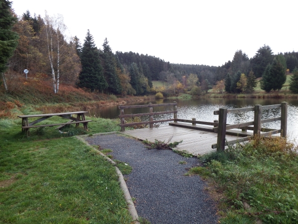
Beautiful views across the Cotatay valley with Pleiney, La Chomette, and in the distance, the Guizay antenna. The Cotatay Dam blocks the valley and has supplied drinking water to Le Chambon-Feugerolles for about a hundred years.
From the cemetery, go up the road to the intersection, cross the D22 (⚠️ Caution: heavily trafficked road, be careful), then take the path ascending towards the antenna.
In the forest, follow the white/yellow markers, which will lead you across one of the Valchérie streams. Take a wide path to the left, then turn right at the next intersection. Continue straight until Fontbonne. Turn right for 100 m then take the path to the left. Upon reaching the paved road, go straight. Continue until Le Briat. At La Croix, continue straight on the flat path until the wild boar park.
Descend to the dam wall, cross it and turn right to go almost completely around the dam.
200 m before the dam wall, take an ascending path to the left. At the houses of Le Briat, follow the road to the left, and after 1.5 km, turn 90° right and follow the road to the weighbridge. Take the Pételon path to the left behind the bus shelter, then turn right onto the Pêcher path. Carefully cross the RD22, then descend to the pond. Take the path along the mill race. Return to the cemetery via the village.
Hiking Recommendations
Everyone is responsible for their own safety. Therefore, hikes are undertaken at your own risk. Stay on marked trails to preserve fragile areas.
Some general recommendations:
- Check the weather before setting off
- Some routes cross heavily trafficked roads: Be careful
- Keep dogs on a leash
- Do not light fires
- Take your litter with you
- Admire the flowers, do not pick them.
- Tick bites can lead to serious illnesses ; for prevention: wear covering clothing, use repellents, check yourself upon return, remove ticks using a tick remover without applying anything to them, consult a doctor in case of apparent redness, flu-like symptoms, or if you are at risk.
- For emergencies, dial 18 or 112.