Hiking - The Crouzes Path - Pavezin n° 3
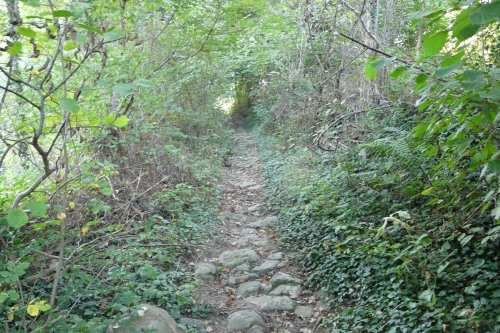
Pass in front of the church then take the first paved path which, after a few meters, gives way to stones, reminding us that this route was paved by the Romans to connect the Gier and Rhône valleys. Continue along this ascending path. At the first crossroads (about a hundred meters), take the shaded path in the middle and then continue straight ahead until you reach the new houses (chalet type) where you first turn left then right.
You arrive at Col de Pavezin, 650 m altitude. In clear weather, you will see the Alps mountain range.
Take the first path on your left in the direction of CHUYER (which goes around the house). Waymarking towards Mont ministre.
A few meters further, turn left onto the path, brown and white waymarking towards Col de Grenouze.
Only follow this waymarking until a small clearing at the top, at the crossroads of 4 directions.
Then turn left and descend gently. At the junction with the paved road, turn right for about a hundred meters. You are at the place called “Les Crouzes”.
At the crossroads, take the path between the two roads, follow the ridgeline, cross a small oak wood then take the path to the left and descend to the small paved road which you take to the left. You are near the hamlet “La Challe”.
You then join circuit N°2. Follow this small road for about 1 km, cut across the D 30, cross Les Chavannes, continue on the path. At the crossroads, turn left and ascend gently back to the village. You pass in front of a wrought-iron cross erected on a stone base. This is believed to be the Desert Cross (a cross indicating the limits that the Carthusians were not to cross during their weekly walk)
Upon reaching the D 30, observe the Carthusian cross,
then return to the parking lot.
⚠️ Caution, heavily trafficked road, remain vigilant.
Everyone is responsible for their own safety. Consequently, hikes are undertaken at your own risk. Remain on marked trails to preserve fragile areas.
A Few General Recommendations:
- Consult the weather forecast before each departure
- Some routes cross heavily trafficked roads: Be careful
- Keep dogs on a leash
- Do not light fires
- Take your rubbish with you
- Admire the flowers, do not pick them.
- Tick bites can lead to serious illnesses; for prevention: wear covering clothing, use repellents, check yourself upon return, remove ticks with a tick remover without applying anything to them, consult a doctor in case of apparent redness, flu-like symptoms, or if you are a person at risk.
- For emergencies, dial 18 or 112.