Hiking - The Colle di Ciriegia
Except for a few larches and some copses of green alders at the start of the climb, the trail passes through a wild, boulder-strewn detritic valley.
After crossing the wooden bridge over the Gesso della Valletta torrent, the route follows the mule track that crosses Pian della Casa del Re (1735 m). The mule track climbs with a few broad switchbacks up grassy detritic slopes dotted with larches until it comes to a triple fork: the route continues along the middle trail, ignoring the one on the right, which leads to the intermediate Lake Fremamorta (unmarked and reserved for expert hikers only) and the one on the left(marked) to the Regina Elena Refuge.
A bit further on, the route passes by a turnoff on the right, also for the intermediate Lake Fremamorta.
After passing through a copse of green alders, the trail circumnavigates a rockslide with a few stone steps. Arriving at the foot of a rocky outcropping, the trail surmounts it with tight switchbacks and two long traverses, passing first on the orographic right side of the valley and then returning to the left one again.
Now passing through fields of detritus, the mule track becomes a trail and passes by the remains of a small former military shelter, then winds past several large fallen boulders.
After climbing up another detritic slope, the trail proceeds through rubble until reaching a fork: the two paths come together again further on, but the one on the left is recommended.
The trail continues uphill on the orographic right; it passes by the turnoff to the left on the mule track for the Vallone di Balma GhiliË, shifts once again to the orographic left side of the valley and, in a series of long but fairly steep switchbacks, leads over the rock-strewn slope that precedes the barracks erected to house the troops defending the pass.
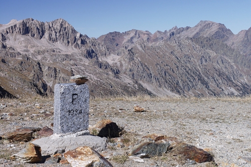
The Colle di Ciriegia pass (2543 m, 2 hours and 35 minutes from Pian della Casa del Re) is just a few meters beyond the remains of the military barracks.