Hiking - Le col de la Cravate
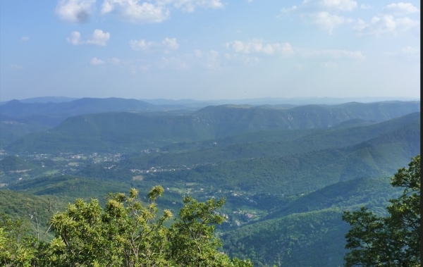
A long hike but a beautiful testimony to the untold history of the reforestation of the Aigoual massif.
Along the route, directional posts guide you. The names of place names and/or directions to follow are indicated in bold italics and in quotation marks in the description below:
Departure from « BREAU », heading towards « SALAGOSSE ». Follow « Fontaine de La Surle », « Pied Méjean », « Le Pied Méjean » and « Le Pré de Serre ».
From « SALAGOSSE », continue to « PUECHAGUT » via « Le Devois »; then head towards « PRATCOUSTAL » via « Les Perriers ».
Then head towards « SERRE » via « Carnieu ». Return to « BREAU » via « Le Pied Méjean », « Pied Méjean » and « Fontaine de La Surle ».
Walk extracted from the cartoguide Les Vallées Cévenoles - En Pays Viganais, produced by the community of communes Pays Viganais-Cévennes as part of the Espaces naturels gardois collection and the Gard Pleine Nature label.
Adapt your equipment to the weather conditions of the day. Remember that weather changes quickly in the mountains. Be sure to bring enough water, good shoes, and a hat.