Hiking - The Thort Dolmen
A refreshing ridge walk during the warm season, through a rugged landscape where building the railway was a true feat—carving numerous tunnels and constructing viaducts over rivers.
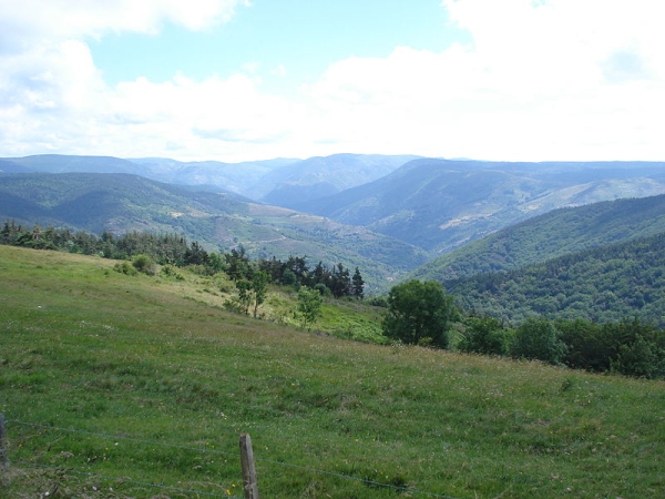
Between the Régordane Trail (GR700) and the Stevenson Trail (GR70), this loop of greenery reveals the vast vegetation of this part of the region, once trodden underfoot by Gargantua and overlooking the Tanargue massif.
Along the route, directional posts will guide you. The names of place names and/or directions to follow are indicated in "bold italics and quotation marks" in the description below:
From "LA BASTIDE PUYLAURENT", head toward "MASMEJEAN" via "Chemin de Mercoiret", "Col des Huttes", "La Mourade". At "La Mourade", turn left toward "MASMEJEAN". At "MASMEJEAN", return to "LA BASTIDE PUYLAURENT" via "Croix de Grabio", "Le Serre des Clouts", "L'Atchaladou".
This walk is taken from the cartoguide Mont Lozère – Land of Springs, From the Margeride to Villefort Lake in the Cévennes, produced by the Mont Lozère Outdoor Activity Center.
Adapt your equipment to the day’s weather conditions. Remember that mountain weather can change quickly. Make sure to bring enough water, good shoes, and a hat.