Hiking - The ford at Hiverne
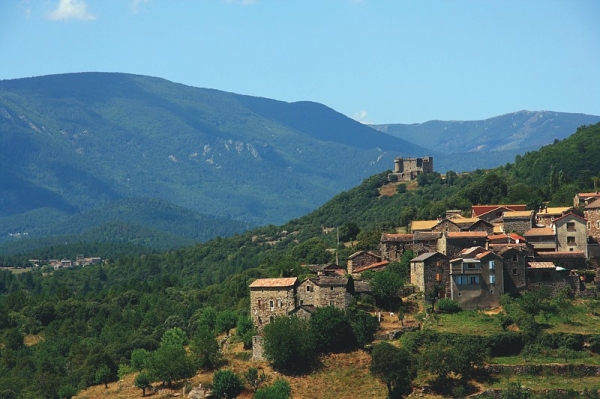
Crisscross the Césarenque area on a former mule track. You might even see that bird of clean rivers, the white-throated dipper!
Signposts will guide you all along this route. In the description below, the signposted place names and/or directions are given in bold italics between quotation marks:
From “Aujac”, walk to “Les Bouschets” via “l’Habitarelle” x2, “Les Pauses”, “Combemale” and “Ravanis”. Then head for “Salveplane”. Next, walk to “Charnavas” via “Le Bartrasse”, “Pont d’Hiverne”, “Font de Peire Fabre” and “Charnavas”. Return to “Aujac” via “La Brugarède”.
This hike is taken from the guidebook Mont Lozère – Pays des sources, Sommet des Cévennes, published by the Pôle de pleine nature du Mont Lozère.
This trail cannot be used by mountain-bikes. In bad weather or after strong rain, be careful at the ford over the Cèze (strong current). Steep section at the end of the loop.
Make sure your equipment is appropriate for the day's weather conditions. Remember that the weather changes quickly in the mountains. Take enough water, wear solid shoes and put on a hat. Please close all gates and barriers after yourself.