Hiking - The Pian del Valasco plateau and the Valasco Refuge
A short, easy walk on good paths or dirt roads, partly circular, that leads to one of the most interesting and picturesque places in the Park of the Maritime Alps.
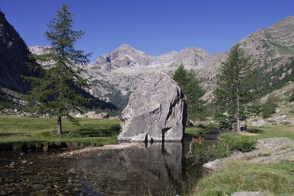
The Piano del Valasco is a large grassy plateau, which was originally a lake basin, now filled in. It is ringed by peaks around 3,000 high and crossed by a sinuous torrent. In the middle of the plateau stands the Royal Hunting Lodge, which Vittorio Emanuele II had built for his chamois hunts, now a refuge.
On the right side of the parking entrance above Terme di Valdieri (1385 m), a former military road, unpaved, leads westward, up the Vallone del Valasco, through lovely deciduous woods and then, as the road climbs, more larches. After a long straight stretch, on the first switchback to the right, there is a clearly visible path on the left (unmarked!) that leads to the lower Piano del Valasco.
The trail continues on near the torrent, cutting across the many switchbacks of the former military road and crossing it many times, the first near the right side of a switchback at an altitude of about 1600 meters, then again to the right of another switchback at about 1625 m.
It then joins the road on a straight stretch at about 1650 m. At this point, after a few dozen meters along the former military road, the route leaves the road and follows the trail to the left.
In this stretch of the route, there are evident traces of the mule track used before the road was built.
The route rejoins the unpaved military road definitively at an altitude of ca. 1705 m, facilitated by the recent addition of steps, and follows the road to the left. There is a ford crossing a small rivulet that flows over the road (the rivulet swells into a stream in springtime) and leaving behind the trail for Colle di Valmiana on the right, the route passes a small spring and comes to the waterfall marking the entrance to the lower Piano del Valasco (1763 m, 1 hour and 10 minutes from Terme di Valdieri).
The military road leads to the center of the large meadow, formed by the basin of a glacial lake and now completely filled in, and forks: the right fork heads for the upper Piano del Valasco and the Valscura Lakes, while the left one leads to the Valasco Refuge (1763 m, 5 minutes from the lower Piano del Valasco), once the Royal Hunting Lodge of the House of Savoy.
The return journey follows the former military road crossed numerous times on the way up: the road leads gently downhill, after a number of long traverses and a series of switchbacks. At an altitude of about 1500 m, next to a switchback to the right, half-hidden by the vegetation, there is a fortified bunker that was part of the Vallo Alpino defenses, just a few meters uphill from the road.
At the next elbow turn, the road links up with the trail used on the way up, and leads back down to the parking lot above Terme di Valdieri (1385 m, 1 hour and 1 minutes from Rifugio Valasco).