Hiking - Le Priel - Pélussin No. 1
From the Maison du Parc, walk up rue Benaÿ, passing the villas to leave the town of Pélussin. After 300 m, cross the main road and take the small road opposite, which follows the Bief de Virieu.
This channel, which is partly underground, supplies water to the moats of the Château de Virieu. Thanks to a system of sluices, the channel's water was also used to power the wheels of numerous silk-throwing mills. At Le Truchet, old chimneys and a waterwheel also attest to the use of hydraulic power. Today, the water is used by local residents, but only for their vegetable gardens.
Take the road uphill to the right, then make a sharp right turn onto the dirt path after a water basin. The path continues to the left in a steep-sided bend to the hamlet of Soyère. Pass between the houses and follow a grassy path up to the D63, then take the paved road opposite which becomes a track at Lermont. Turn right at the next junction and climb up into the Bois des Ciaux woods, then
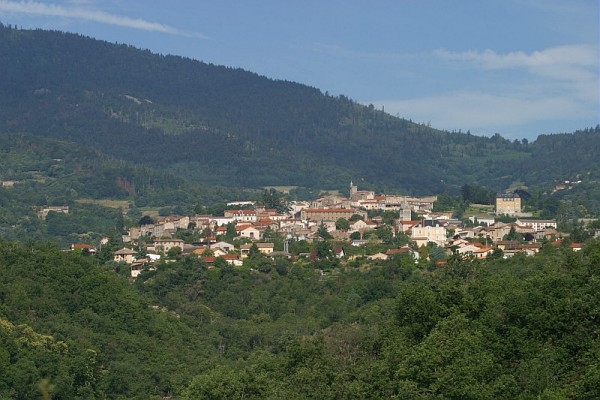
drop down to the left and climb back up to the hamlet of Le Priel. The view here is open, allowing you to see the Chirat de la Madeleine and the Crêt de l’Oeillon.
A characteristic feature of the Pilat region, these granitic scree slopes were formed nearly 100,000 years ago by the long winters of the Quaternary period.
Follow the D63 uphill for 50 m before crossing it and passing behind a house. After the houses of Corbéry, you will rejoin a road before heading down a very steep path that crosses the Malatras stream. At the second junction with a road, take it to the left for 50 m before branching off to the right.
The route bypasses the hamlet on the left, running alongside a plot of farmland, before descending to the bridge over the Malatras.
Go up the path on the left to rejoin the road you took on the way out.
Everyone is responsible for their own safety. You therefore hike at your own risk. Please stay on the waymarked trails to preserve fragile ecosystems.
A few recommendations:
- Check the weather forecast before you leave
- Some routes cross busy roads: Be careful
- Keep dogs on a leash
- Do not light any fires
- Take your litter home with you
- Admire the flowers, do not pick them.
- Tick bites can lead to serious diseases; for prevention: wear long clothing, use insect repellent, check your body upon your return, remove ticks with a tick remover tool without applying any substance to them, and see a doctor if a rash or flu-like symptoms appear, or if you are in a high-risk group.
- For emergency services, dial 18 or 112.