Hiking - Le puy de Montoncel
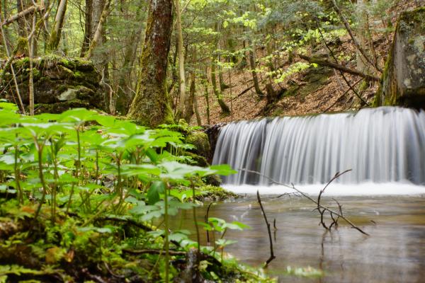
This forest walk leads to the summit of Mount Montoncel, the highest point of the Bois-Noirs (1 287 m). After crossing the wooded ravine of the Credogne, which is home to a significant bird population, it follows the Muratte retention basin.