Hiking - Vallon de La Rocheure
A family route in an open valley steeped in the history of man’s settlement in the alpine pasture where many alpine species can be observed.
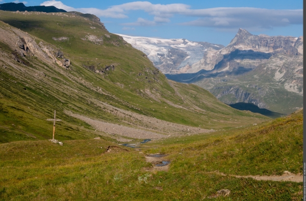
“What a surprise to discover the alpine pastures in this lost valley, steeped in history and the endeavours of farmers across time. Human presence is implicit, nature is omnipresent, not mastered but humbly tamed by generations of mountain dwellers.” Jean-Luc Étiévant, Vanoise National Park ranger
From Bellecombe car park (2,307 m in altitude), head in the direction of the Refuges of Plan du Lac and Femma. Go along the Lac de Plan du Lac (2,365 m in altitude) before arriving at the refuge of the same name. Take the trail leading north-east in the direction of the Refuge de la Femma. This path crosses a rock glacier then turns east at the Trou du Chaudron. A downward crossing leads to the bottom of the valley, at the junction with the vehicle track of La Rocheure. (2,180 m in altitude). Follow the path to the east, pass in front of the chapel of Saint-Jacques and cross the bridge over the Doron before arriving at the Chalet de La Rocheure (2,250 m in altitude). At the chalet, the track stops and turns into an easy path to the Refuge de La Femma (2,352 m), destination of the route. The return journey follows the same path with a possible variation.