Hiking - The 4,000 Steps
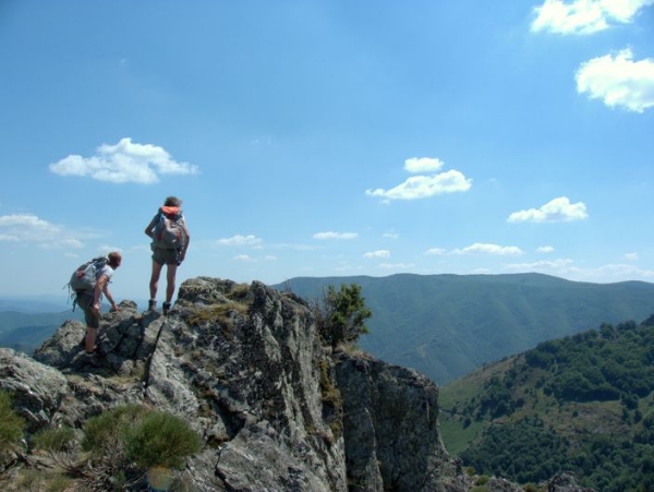
This is an emblematic trail from Valleraugue to the summit of Mont Aigoual. It uses the former postman's path to reach – after 1,220 m of height difference – the highest point in the Gard department. Exceptional panoramic views in clear weather!
Signposts will guide you all along this route. In the description below, the signposted place names and/or directions are given in bold italics between quotation marks:
Starting from "Valleraugue - Office du Tourisme", make for "Mont Aigoual" until you reach "Menhir de Trépaloup".
From here, you can hike to "Mont Aigoual" via "Mont Aigoual - Sommet" and return the same way.
At the crossroads "Menhir de Trépaloup", direction "COMBE RUDE" then "Font de Trépaloup".
Follow the GR® 6 -7- 66 hiking-path to "Cap de Brion", then join "Aire de Côte" via "Le Coulet".
Return to "Valleraugue" via "Le Fageas", "Combe Première", "Le Châtaignier" and "Foyas".
This walk is taken from the guidebook Massif de l’Aigoual, published by the Communauté de communes Causses – Aigoual - Cévennes as part of the collection Espaces naturels gardois and the label Gard Pleine Nature.
Make sure your equipment is appropriate for the day's weather conditions. Remember that the weather changes quickly in the mountains. Take enough water, wear good shoes and put on a hat. Please close all gates and barriers after yourself.