Hiking - The waterfalls of Le Pich and Le Cimet
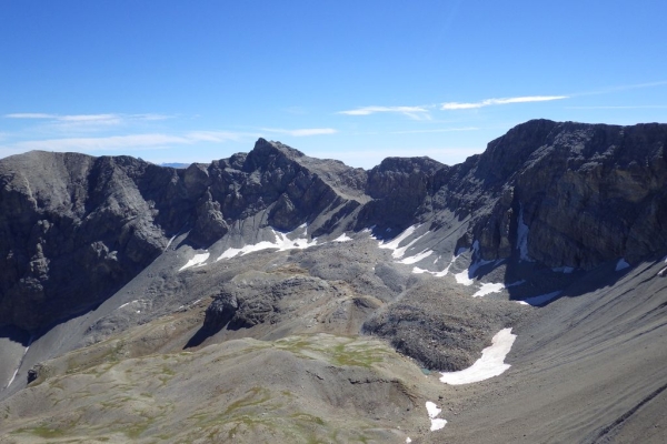
The Bouchier waterfalls won’t last for ever. They have a past and a future. Their existence is the result of the actions of water, wind and sun on more or less fragile terrain. This perpetual combat has shaped the landscape: erosion.
Follow the forest track after the gate until it comes to an end (it widens) and continue via the path which follows (Mercantour National Park sign). This path has yellow and green markers.
Go past the farm in the woods and follow the path which initially climbs through the meadow before heading through a larch forest until you reach a forest track which you should pick up.
When this track suddenly begins to climb, take the path on the left which heads downwards. Go through the meadows at Combes and the valley begins to narrow (National Park sign).
The path heads downwards towards the valley floor and the Pich waterfall becomes visible on the opposite side. When you reach the valley floor, cross a footbridge at the bottom of the waterfall.
The path climbs up the other bank and heads over a steep hillock via two big curves. It then flattens out almost completely. The end of the path is at the huts which can be found at Talon (sign).
From here, the path is denoted with red and white markers (GR56). Continue along this path at as you leave the forest (sign), the Cimet waterfall comes into view in front of you.
Reaching the foot of the waterfall is not difficult. Those with energy to spare can go up to the top of this waterfall as long as the presence of ice doesn’t make this impossible.
Follow the same route on the return journey.
The paths on this hike are good with yellow and green then red and white markers. This the atmosphere of the high mountains and the weather can change quickly. You will therefore need warm clothes, waterproofs in addition to a good pair of shoes.
The final part of the itinerary (the way up alongside the Cimet waterfall) can become extremely dangerous due to ice in spring and autumn: only go up there in good conditions.
If a sudden shower should fall, the huts at Combes and Talon can provide you with temporary shelter. In the embankment below the Talon hut, 10 metres below the level of the building, there is a spring where you can fill your drinking bottles if you need to.