Hiking - The ramparts of Dieusse
A walk that showcases pastoral constructions: walled pens, capitelles (drystone huts), faïsses (terraced cropland), mazets (southern one-room stone houses on farmland) and water troughs as well as splendid panoramic views.
Signposts will guide you all along this route. In the description below, the signposted place names and/or directions are given in bold italics between quotation marks:
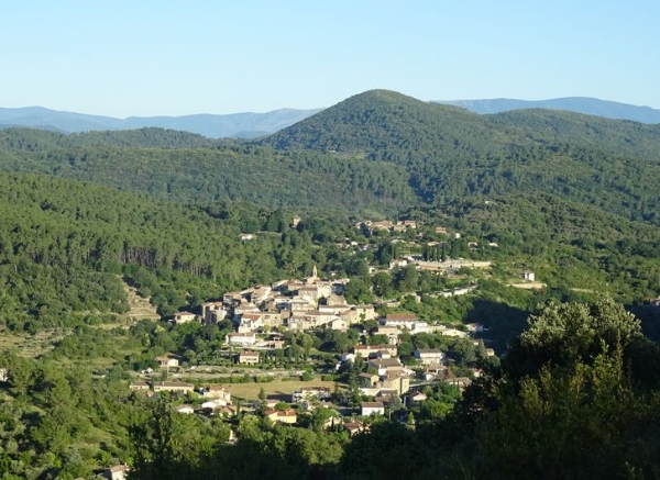
Starting from "SAINT-BRÈS", head towards "VILLAGE" and then "DIEUSSE", via "Coste de Bonne". Continue on "Chemin Royal" till you reach "LES REMPARTS DE DIEUSSE", then continue via "Mas de la Pommière", "La Croisée" and "La Digue" to "SERRE DE GAJAC". Admire the views from here to "La Rochette". Return to "SAINT- BRÈS" via "Bassargues".
This hike is taken from the guidebook Cévennes Haute vallée de la Cèze, published by the communauté de communes Cèze-Cévennes as part of the collection Espaces naturels Gardois and the label Gard Pleine Nature.
Make sure your equipment is appropriate for the day’s weather conditions. Take enough water, wear sturdy shoes and put on a hat. Please close all gates and barriers behind you.
Signposts will guide you all along this route. In the description below, the signposted place names and/or directions are given in bold italics between quotation marks:
Starting from "SAINT-BRÈS", head towards "VILLAGE" and then "DIEUSSE", via "Coste de Bonne". Continue on "Chemin Royal" till you reach "LES REMPARTS DE DIEUSSE", then continue via "Mas de la Pommière", "La Croisée" and "La Digue" to "SERRE DE GAJAC". Admire the views from here to "La Rochette". Return to "SAINT- BRÈS" via "Bassargues".
This hike is taken from the guidebook Cévennes Haute vallée de la Cèze, published by the communauté de communes Cèze-Cévennes as part of the collection Espaces naturels Gardois and the label Gard Pleine Nature.
Make sure your equipment is appropriate for the day’s weather conditions. Take enough water, wear sturdy shoes and put on a hat. Please close all gates and barriers behind you.