Hiking - Mallevrière
Set out to conquer the highest point in Lozère, the Pic de Finiels. Three viewpoint panels explain the panorama.
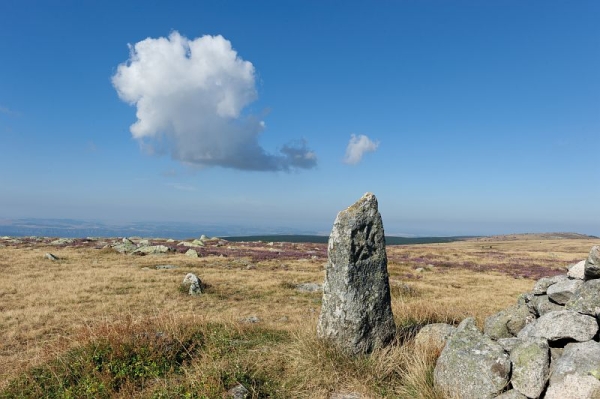
This circular trail follows in the footsteps of Robert Louis Stevenson and his donkey, Modestine, through the granite block fields of Finiels to the summit of the same name.
Signposts will guide you all along this route. In the description below, the signposted place names and/or directions are given in bold italics between quotation marks:
Starting at “Col de Finiels” make for “Bas du Col Plat”, then “Col Plat”, “Font de Sènebébios”, “Le Cougnet”. Walk downhill to “Pont de la Colinie”. Then walk to “Sommet de Finiels” via “Travers de l’Homme”, “Abri forestier de Mallevrière”, “Valat de la Mouline”, “Route forestière des Crêtes”. At “Sommet de Finiels” return to “Col de Finiels” via “Col de la Draille” x2, then “Sous le Col de Finiels”, “Col de Finiels”.
This hike is taken from the guidebook Mont Lozère - Pays des sources, Sommet des Cévennes
Stony paths. Avoid the summit of Finiels in fog. Make sure your equipment is appropriate for the day’s weather conditions. Remember that the weather changes quickly in the mountains. Take enough water, wear sturdy shoes and put on a hat. Please close all gates and barriers behind you. Parts of this path are prohibited for mountain-bikes.