Hiking - PLAN D'AUPS SAINTE-BAUME - Pic de Bertagne
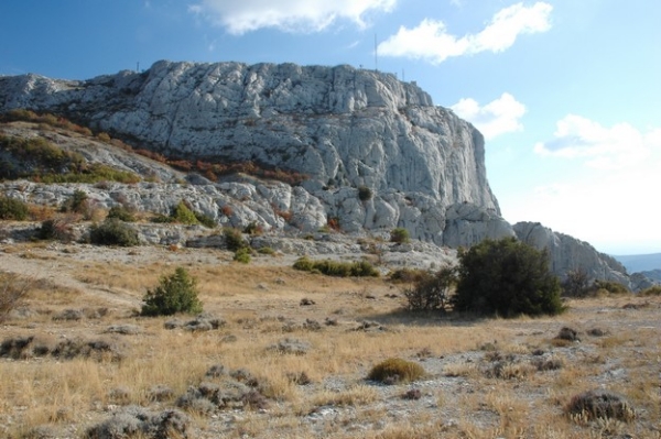
Hike to the highest point in the Bouches-du-Rhône department and treat yourself to a spectacular panoramic view, from the Mediterranean Sea to the Alps.
A classic hike in the Sainte-Baume massif, this route allows you to walk in the footsteps of Plan d’Aups' history. You will wind your way between the old Brasque farm, a site steeped in mining and agricultural history and rich in biodiversity, and the Col and Pic de Bertagne, where breathtaking landscapes await. Enjoy the commanding path along the western part of the Sainte-Baume ridge before returning to the forest atmosphere of its north-facing slope.
This is a mountain trail subject to changing weather conditions, with two sections of slippery rock (between waypoints 3 and 4, and after waypoint 5) that should be avoided in case of rain, wind and/or fog.
A flock and livestock guardian dogs may be present along this hike: be sure to react appropriately! Give the flock a wide berth. If a dog approaches, stop, do not stare at it, do not raise your walking poles, and speak to it calmly while it assesses you.
In summer, the area is at high risk of wildfires. As a result, access is restricted throughout the summer season. Check the access conditions for the forested areas, which are updated daily on both the Var and Bouches-du-Rhône prefecture websites (this route crosses both departments). If the fire risk level is 'red' in the Var, this route is impassable. If the risk is 'red' only in the Bouches-du-Rhône, opt for the shorter 'Le Col de Bertagne' version.