Hiking - Plot de la Fage
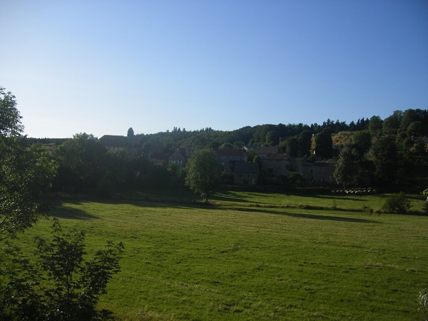
Located between the Montagne du Goulet to the south and the Margeride to the north, the small Montbel plateau (23 km²) is a granite plateau of great beauty. Livestock farming has shaped a landscape of meadows and moorlands that offers magnificent views of the horizon.
Along the route, directional posts guide you, as well as yellow painted waymarks. The localities and/or directions to follow are indicated in "bold italics and quotation marks" in the description below:
Starting from « LAUBERT », head towards « ROCHEBELLE » via « Station de Laubert », « La Combe », « La Soutch ». At « ROCHEBELLE », turn left towards « Malavalette ». At « Malavalette », turn right to return to « LAUBERT » via « Lou Laton », « Le Massacre », « Malaval », « Labade », « Mairie ».
Walk taken from the map guide Mont Lozère, Pays des Sources, from the Montagne du Goulet to the gorges of Bramont, produced by the Pôle nature du Mont Lozère.
Adapt your equipment to the day’s weather conditions. Remember that the weather changes quickly in the mountains. Be sure to bring enough water, good shoes, and a hat. Always close fences and gates.