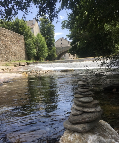
Hiking - Ravin de Combelle

At over 1,000m in altitude, the walk climbs north of the Roman-founded spa town and reveals a wide panorama of the Goulet mountain and Mont Lozère.
Along the route, directional posts guide you as well as yellow painted waymarks. The place names and/or directions to follow are indicated in bold italics and in quotation marks in the description below:
From «Bagnols les Bains», head towards «Pessasse», «Le Crouzet», «Avenue de la Gare», and «Bagnols les Bains».
Walk taken from the hiking guide Mont Lozère, Land of Springs, from the Goulet mountain to the Bramont gorges, produced by the Mont Lozère Nature Center.
Adapt your equipment to the day’s weather conditions. Don’t forget that the weather changes quickly in the mountains. Be sure to bring enough water, good shoes and a hat. Close gates and fences properly.