Hiking - REMUZAT - Rocher du Caire
Hike up the Rocher du Caire to enjoy the view from the summit, and don't miss the vultures soaring overhead!
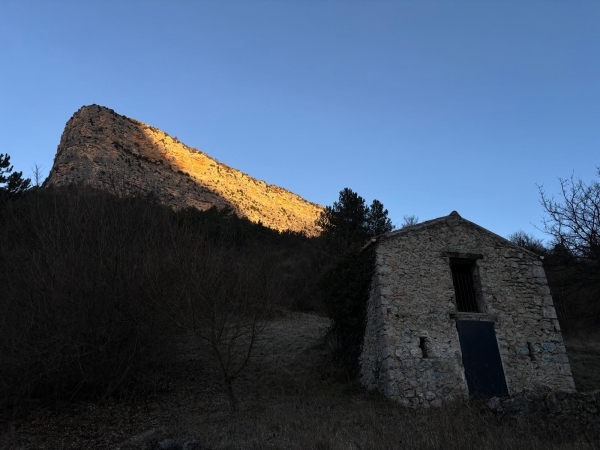
"I was impressed by the rocky barrier of the Rocher du Caire. The climb is very steep, with an exposed section, but I quickly forgot all about the effort once I reached the plateau. I didn't know where to look first! The vultures fly very close to the trail, and the view of the mountains on both sides of the Rocher du Caire ridges showcases the beauty of the region's landscapes!". Kim Chapuis, Outdoor Sports Project Manager at the Baronnies Provençales Regional Natural Park
- This route must be hiked in the direction indicated on the map (uphill only). Descending via the "des échelles" trail is prohibited by municipal bylaw No. 8/2014 (Saint-May) dated July 1, 2014.
- After point 3: steep and dizzying section, caution required!
- RESPECT THE TRANQUILITY of the area: avoid shouting and do not use sound devices (radios, etc.), out of respect for other users and for the peace of the local wildlife, especially during breeding and wintering seasons when animals are much more vulnerable.
- The path runs close to cultivated fields which are private property; please refrain from picking anything (lavender, fruit, etc.).
- A section of the route is highly exposed to the sun. On hot summer days, be sure to bring the necessary equipment (water, a hat, sunscreen, etc.). It is best to set off early in the morning to avoid the midday heat.
- CAUTION: PASTORAL AREA on the route. If livestock guardian dogs approach you, do not pet or threaten them. Stop, wait patiently while they 'check you out', then calmly continue on your way, walking as far around the flock as possible. It is preferable not to bring your dog; if you do, it must be kept on a leash. Remember to close all gates behind you. For reference, please review the correct way to behave around livestock guardian dogs.