Hiking - Charles Exbrayat Trail - Tarentaise No. 4
A trail dedicated to the writer who drew great inspiration from Tarentaise (the Exbrayat family lived in Le Curtil), the Pilat region, its forests and its people for many of his works.
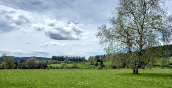
• Start from the village on the Route des Palais. As you leave the village, take a small road on the right that soon turns into a path; at the crossroads, head towards Prarouet; cross the hamlet heading downhill towards the D37, and watch out for traffic.
• Follow the road uphill to Le Bouchet, then turn right between the meadows to the D37 (⚠️ Caution: this road has heavy traffic, please be careful). Follow the road for 50 metres, cross it, and take the path downhill to the "Exbrayat" Douglas firs. Follow the Furan valley, then make a short detour to the right to cross the ruins of the Redoux sawmill.
• After the bridge, follow the forest track on the left for 100m, then take the path on the right until it rejoins the track along the Furan.
• At the crossroads (FROM HERE, you can reach the Pas du Riot dam by following Park Trail No. 6 downstream, marked in brown and white), take a path on the right that climbs to La Côte des Pins, from where you will return to the village of Tarentaise.
Hiking Recommendations
You are responsible for your own safety. Therefore, you hike at your own risk. Stay on the marked trails to protect fragile environments.
A few basic recommendations:
For emergencies, dial 18 or 112.
• Start from the village on the Route des Palais. As you leave the village, take a small road on the right that soon turns into a path; at the crossroads, head towards Prarouet; cross the hamlet heading downhill towards the D37, and watch out for traffic.
• Follow the road uphill to Le Bouchet, then turn right between the meadows to the D37 (⚠️ Caution: this road has heavy traffic, please be careful). Follow the road for 50 metres, cross it, and take the path downhill to the "Exbrayat" Douglas firs. Follow the Furan valley, then make a short detour to the right to cross the ruins of the Redoux sawmill.
• After the bridge, follow the forest track on the left for 100m, then take the path on the right until it rejoins the track along the Furan.
• At the crossroads (FROM HERE, you can reach the Pas du Riot dam by following Park Trail No. 6 downstream, marked in brown and white), take a path on the right that climbs to La Côte des Pins, from where you will return to the village of Tarentaise.
Hiking Recommendations
You are responsible for your own safety. Therefore, you hike at your own risk. Stay on the marked trails to protect fragile environments.
A few basic recommendations:
- Check the weather forecast before you set off
- Some routes cross roads with heavy traffic: Be careful
- Keep dogs on a leash
- Do not light any fires
- Carry out all your litter
- Enjoy the flowers, do not pick them.
- Tick bites can lead to serious diseases. To prevent them: wear long clothing, use repellents, check your body when you return, remove any ticks with a tick removal tool without applying any substance, and see a doctor if redness or flu-like symptoms appear, or if you are in an at-risk group.
For emergencies, dial 18 or 112.