Hiking - Soleyrols
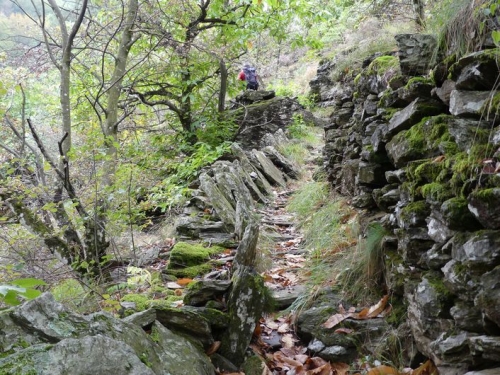
A small loop around the river Luech that goes through the ore-rich fault zone between schist and granite and passes former mining sites.
Signposts will guide you all along this route, as well as yellow painted waymarks. In the description below, the signposted place names and/or directions are given in bold italics between quotation marks:
Starting at “Vialas”, walk to “Soleyrols” via “Place de l’Ancienne Gendarmerie”, “La Vigne”, “Maison de retraite” and “Rieutort” (2).
At “Soleyrols”, walk to “Ruisseau du Villaret”. Return to “Vialas” via “Légaou”, “La Tranchée”, “Lou Devez”, “Plagette”, “La vigne” and “Place de l’Ancienne Gendarmerie”.
This hike is taken from the guidebook Mont Lozère – Pays des sources, Sommet des Cévennes, published by the Pôle de pleine nature du Mont Lozère.
Fords: when water levels are high, please make enquiries before setting out. Make sure your equipment is appropriate for the day's weather conditions. Remember that the weather changes quickly in the mountains. Take enough water, wear good shoes and put on a hat. Please close all gates and barriers after yourself.