Hiking - Sources of the Lot
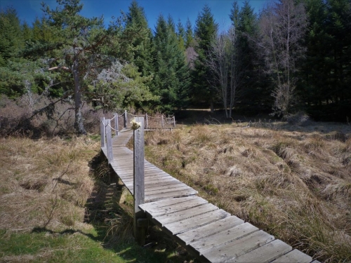
This is the most challenging hike in the cartoguide, between the northern slopes of Mont Lozère and the southern slopes of the Goulet mountain, where the sources of the Lot begin. A diversity of grand landscapes is guaranteed!
The main goal is to reach the source of the Lot, but you will also learn about rye, the treecreeper, mushrooms, or R.L. Stevenson.
Along the route, signposts guide you, along with yellow paint markings. The names of localities and/or directions to follow are indicated in bold italics and in quotes in the description below:
From the start at « CUBIÈRES », head towards « Col Santel » via « Le Réservoir ». At « Col Santel », turn right towards « Eglise du Bleymard ». At « Eglise du Bleymard », turn right towards « SOURCES DU LOT » via « Croix de la Mission », « La Remise », « Les Alpiers ». At « SOURCES DU LOT », continue straight towards « Chap Duolt ». At « Chap Duolt », continue straight towards « Lou Feyra ». At « Lou Feyra », turn left towards « COURSOULES » via « Frachassou », « La Mourade ». At « COURSOULES », continue straight towards « COL BOURBON ». At « COL BOURBON », return to « CUBIÈRES » via « Valat de la Longogne », « Croix de Pelloufet », « Village ».
Walk extracted from the cartoguide Mont Lozère, Pays des Sources, from the Goulet Mountain to the Bramont Gorges, produced by the Mont Lozère Nature Pole.
Adapt your equipment to the weather conditions of the day. Remember that mountain weather changes quickly. Bring enough water, sturdy shoes, and a hat. Make sure to close gates and stiles properly.